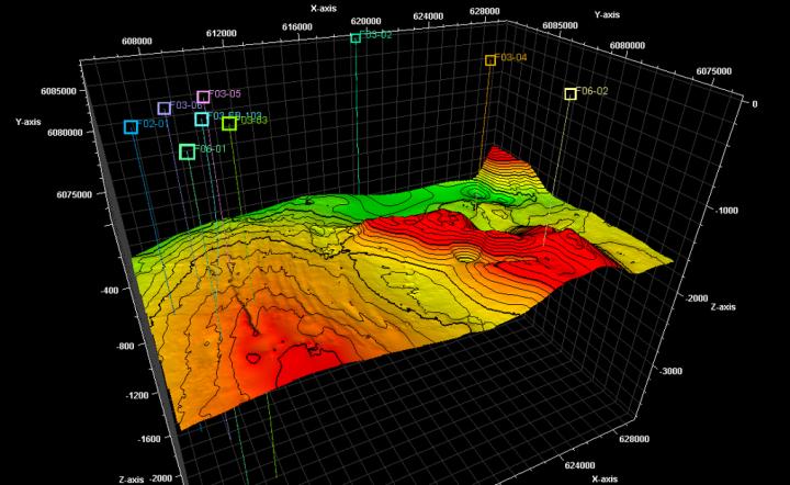

The original technique will avoid emergencies while drilling.
Credit: Samara Polytech
Today, many emergencies while drilling are connected with rock instability. Collapse leads to large time and financial expenses.
The problem is that most of the existing models for assessing sustainability include several parameters that are most often included in the list of difficult-to-obtain data, – explains Associate Professor, Candidate of Technical Sciences Alexey Podyachev.
These include, for example, the mechanical properties of the rock, which are determined by the core salvage (the rock column extracted from the well). And this core is difficult-to-obtain material.
Most often it is taken from potentially productive formations, and the problem of wall instability arises on overlying horizons, the core of which is missing or lost its original properties as a result of long-term storage and irreversible processes.
The new methodology of the scientists of the Samara Polytech is based on an additional, deeper interpretation of the standard set of geophysica and seismic data.
It involves the construction of 1-3-4D geomechanical models. The 1D model helps assess the stability of the borehole wall, the 3D model shows the stress field in the entire area of the field, the 4D model reflects the change in the stress field over time.
All this allows us to qualitatively and quantitatively assess the stability of the borehole wall throughout the section and in each geographical point of the studied area. Currently, a specialized 3D Modeling Center is creating at the university that will conduct a full range of such research.
The Polytech scientists method has already been tested on the territory of the Samara region in JSC “Samaraneftegaz” and in the territory of Western Siberia in LLC “RN-Purneftegaz”.
Also, a number of experiments and comparisons were carried out on one of the most difficult in terms of geology shelf of the North Sea, where a huge number of faults, thinnings away and other anomalies.


